Aerial Archaeology: Uncovering Ancient Secrets from the Sky
Embark on a journey that blends cutting-edge technology with the thrill of discovery. Aerial archaeology is revolutionizing how we explore and understand ancient civilizations, offering a bird's-eye view of hidden wonders. This innovative approach is transforming the field of archaeology, revealing long-lost structures and patterns invisible from the ground.

Modern Technologies Elevating the Field
Today, aerial archaeology has evolved far beyond simple aerial photography. Advanced technologies like LiDAR (Light Detection and Ranging) have revolutionized the field. LiDAR uses laser pulses to create detailed 3D maps of the Earth’s surface, penetrating dense vegetation to reveal hidden structures beneath. This technology has led to groundbreaking discoveries, such as the vast network of Mayan cities hidden in the jungles of Guatemala.
Unveiling Lost Worlds
Aerial archaeology has been instrumental in uncovering entire lost civilizations. In Cambodia, researchers used LiDAR to map the ancient city of Mahendraparvata, revealing an urban network far more extensive than previously thought. Similarly, in the Amazon rainforest, aerial surveys have exposed evidence of large, sophisticated pre-Columbian settlements, challenging long-held beliefs about the region’s history.
The Advantages of a Bird’s-Eye View
The aerial perspective offers unique advantages for archaeologists. It allows them to identify patterns and structures that are often indiscernible from ground level. Features like ancient field systems, buried structures, and long-forgotten roads become visible from above, providing crucial context for understanding past societies. This broader view also helps in planning ground-based excavations more efficiently, saving time and resources.
Challenges and Ethical Considerations
While aerial archaeology offers immense potential, it also presents challenges. Interpreting aerial data requires specialized skills and can sometimes lead to misinterpretations. There are also ethical concerns about privacy and the potential for looting when site locations are made public. Archaeologists must balance the benefits of sharing discoveries with the need to protect vulnerable sites.
Sky-High Insights: Facts and Tips for Aerial Archaeology Enthusiasts
• Aerial archaeology is not just for professionals; many discoveries have been made by amateur enthusiasts.
• Crop marks, shadow marks, and soil marks are key indicators archaeologists look for in aerial surveys.
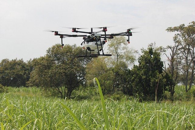
• Drones have become an invaluable tool for aerial archaeology, offering a cost-effective way to survey sites.
• The best time for aerial surveys is often early morning or late afternoon when shadows are longer, revealing subtle landscape features.
• Thermal imaging can reveal buried structures by detecting temperature differences in the soil.
A New Perspective on the Past
Aerial archaeology is reshaping our understanding of human history, offering a macro view of ancient landscapes and civilizations. As technology continues to advance, we can expect even more groundbreaking discoveries from the sky. This innovative approach not only uncovers hidden treasures but also provides valuable insights into how our ancestors lived, built, and interacted with their environment. For history enthusiasts and adventure seekers alike, aerial archaeology opens up a whole new world of exploration, proving that sometimes, to uncover the secrets of the past, we need to look at them from a different angle – quite literally, from above.


